Recent advances in fishing technology have transformed how anglers plan and adapt their trips. Features such as real-time tide data, fish activity forecasts and navigation tools support trip planning and decision-making while allowing anglers to apply traditional skills alongside new digital resources. Understanding these capabilities helps you get the most out of fishing whether on shore, piers or small boats.
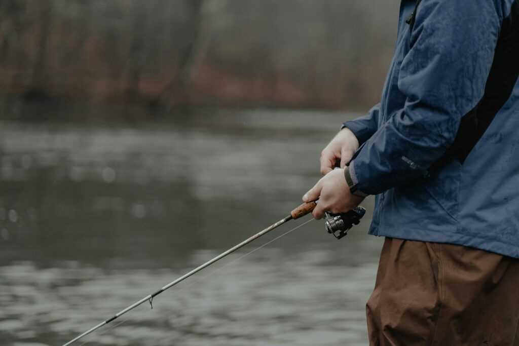
Modern fishing technology now features digital tools specifically designed to help anglers monitor crucial conditions and interpret marine life patterns. The convenience of referencing a tide chart in real time, for example, allows you to check up-to-date tide and solunar data directly within a dedicated app. Understanding how these features work and how to interpret them can help avoid common mistakes and make daily trip planning more reliable.
How recent innovations enhance fishing app accuracy
The past several years have seen the adoption of advanced marine modelling and faster data updating within fishing applications. Improved algorithms aggregate information from multiple sources, supplying updates on water movement and weather in close to real time.
Smart devices have extended the possibilities for anglers, supporting detailed map layering and analysis directly from your mobile phone or tablet. You can overlay variables such as water temperature, wind direction and lunar phases to examine how these factors interact at your preferred fishing locations. This level of access is helpful for spontaneous outings or last-minute plan changes, putting high-quality data at your fingertips even on short notice.
Understanding tide timing and feeding behaviours
Awareness of when tides move through bays, inlets, or flats is central for trip planning since many fish species show increased feeding during tidal changes. The timing of these changes can affect both fish location and their likelihood to respond to bait or lures. Identifying these windows can help you direct efforts to moments of heightened fish activity.
Relying on a single indicator, such as one mobile tide chart reading or a basic weather display, can limit opportunities. Many less experienced anglers miss how local structures, changes in wind and barometric pressure also impact fishing conditions. Using a combination of sources and checking for periodic updates ensures you remain aware of changing conditions, even over short periods.
Fish activity forecasts and their practical use
Most fish activity forecast features draw on recent weather patterns, barometric trends, wind speeds, lunar cycles and catch records to produce daily or hourly ‘activity scores’. These guides are best seen as recommendations rather than guarantees, giving you an indication of when to focus on certain locations or approaches.
For further details about the key functionality these apps provide, click here mid-sentence to learn how map overlays, customisable alerts and interactive planning options are incorporated into the user experience. Even with these forecasting tools, it remains important to stay flexible. Local observations and on-the-water judgement continue to play a significant role, as short-term shifts in conditions may impact fish behaviour more than a forecast can predict.
Navigation tools, mapping and post-trip improvements
Technology supports anglers with route planning and navigation, especially when fishing unfamiliar waters or in areas with weak mobile signals. Many apps, like the Fishing Points platform, include offline functionality, allowing continued access to maps and hazard markers if connectivity drops. You can click here to explore these features while out and about before plotting your next angling adventure.
Contour and underwater structure layers on digital maps are helpful for interpreting the landscape and adjusting tactics, useful when fishing reefs, drop-offs, or submerged features. These layers help anglers quickly spot potential fish-holding structures. Implementing post-trip notes and logging personal fishing data further enhances future planning, letting you build a personalised library of observations for your most-visited spots.
Safety protocols and ethical fishing practices
Rapid weather changes and reduced visibility can pose substantial risks on the water. Technology can increase situational awareness by sending alerts for wind changes, approaching storms, or low-light safety signals. Reliable navigation features further support responsible decision-making, enabling prompt reaction to emergencies or changes in conditions.
Responsible fishing also relies on respecting sensitive habitats and observing local rules. Digital planning tools can notify you about restricted areas or regional boundaries, helping ensure compliance and avoiding protected zones. Following these practices supports fishery sustainability and preserves resources for the future.